Thursday, June 22, 2017


6/20/17: Kenlake Marina, Hardin KY. (MM 42.2) – Green Turtle Bay, Grand Rivers, KY (MM 31.7) = 16 NM

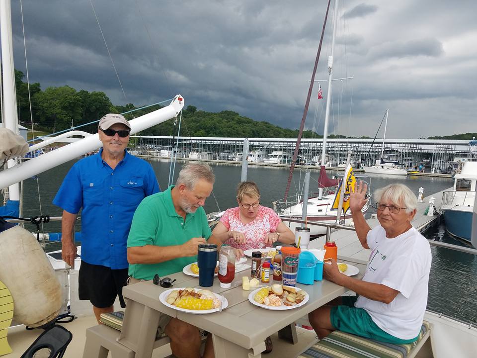
Our original plan was to leave Kenlake Marina and go to an anchorage about 4 miles from Green Turtle Bay and wait for our other two buddy boats. However, Tropical Storm Cindy was predicted to come shore near New Orleans and then head north with a curve causing the rain to come right over the top of us. So we decided to hold out at Green Turtle Bay with our buddy boats. 


Were able to swim & go to Pattys for the famous pork chops. Life is good.


Green Turtle Bay Beach


Relaxing View


6/12/17: Pebble Isle Marina, New Johnsonville, TN.  (MM 96) – Kenlake Marina, Hardin KY. (MM 42.2) = 47 NM


We stopped at Kenlake Marina to visit with Richard & Karen aboard Semper Fi an N37. We liked the marina so much we ended up staying for 8 days!  This gave time for John aboard RecRoom to catch up with us.


We rented a car for the weekend and went to Paducah and several other towns in the area. A good find was a local farmers market which we visited twice. 
6/10/17: Lick Creek Anchorage (MM 127.5) – Pebble Isle Marina , New Johnsonville, TN. (MM 96) = 31.5 NM


We had an uneventful trip to Pebble Isle Marina. We took advantage of eating at the excellent onsite restaurant.


The day we arrived they were hosting a fishing tournament with over 100 boats.


We used the courtesy van to go to Walmart….ok we didn’t really need anything but if there is a courtesy car, you have to use it!


Our buddy boats left us and are headed to Green Turtle Bay. One of the boats had unexpected family business so they will be away from the boat for a few days.


6/9/17: Wolf Island Anchorage (MM 193.4)  – Lick Creek Anchorage (MM 127.5) =  57.26 NM

Entrance to this anchorage was narrow but once inside we had plenty of room.


6/8/17: TENNESSEE RIVER: Grand Harbor Marina, Counce, Tenn. (MM 215)  – Wolf Island Anchorage (MM 193.4) =  18.78 NM & 1 Lock


The sunrises and sunsets continue to get even more beautiful as the hills are starting to turn into mountains.


Breathtaking Views!


6/6/17: Bay Springs Anchorage (MM 412)  – Zippy Cove Anchorage / then across the channel to Grand Harbor Marina ( MM 449.7 on Tenn-Tom Waterway & MM 215 on Tennessee River=  32 NM


We anchored out at a cove across from Grand Harbor Marina then the next day went into the Marina. Excellent marina with floating docks, courtesy car, & friendly staff, we will be stopping again on the way back south.


Zippy Cove Anchorage


The Grand Harbor Marina is at the intersection of the Tenn-Tom Waterway and the Tennessee River. 


Grand Harbor Marina 


Trip Stats So Far:

Left Ft. Myers April 25, 2017 &  arrived at the Tennessee River 44 days later
Traveled 933.8 NM / 1074.60 SM

Marina days = 21. We had to extended stays (6 days each) at two marinas, once to stock up on supplies and gather our buddy boats and the other to sit out a long holiday weekend.


Anchorage & Free Dock Day = 23

Sunday, June 4, 2017

6/2- 5/17: Waverly South Anchorage M 337.6 – Blue Bluff Recreation – Free Dock, Aberdeen, Ms. = 18 NM & 1 Lock


The birds that hang out at the Locks make me look like a good photographer.


So this is a jewel of a find! Free docks in a protected (from tug traffic & wind) cove. We were able to get two boats at the docks and 1 anchored just off the docks. There is a covered pavilion & plenty of room for the dogs to run free.

Our 1st night we were all alone but the 2nd day our buddy boats arrived.


6/1/17: Pickensville Anchorage MM 308 – Waverly South Anchorage M 337.6 = 25 NM/ 29 SM & 1 Lock


Our buddy boats tucked in at the Columbus Marina for mail pickup and we went on to the Waverly South Anchorage. The anchorage is not as big as the reviews said but it was fine for us and maybe another boat. 


We lowered the dink and took the dogs to shore.


5/31/17: Cooks Bend Anchorage  MM 277.9 – Pickensville Anchorage MM 208 = 26 NM/30 SM  &  1 Lock


We had never stayed at this anchorage before but will put it on our list for our trip south. Entrance depths are 20+ feet because tugs deliver barges to a nearby business. The deep channel runs alongside the shore but if you move out away from shore you are in 12 ft. of water.


5/30/17:  Demopolis Yacht Basin, Demopolis, Alabama – Cooks Bend Anchorage  MM 277.9 = 53.8 NM/ 62 SM & 1 Lock


As you can see we are secluded when on anchor.


Another peaceful night on anchorage.